Authors: Luis Soto-Mardones, Alejando Parés-Sierra, K. Elsy Ticse de la Torre and Ana Laura Flores-Morales
https://doi.org/10.3389/fmars.2022.1034644
Abstract
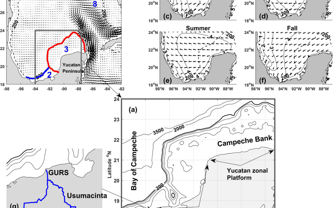
Turbidity is a good indicator to determine the quality of the water; it is a measure of the number of particles in suspension in the water. Using ocean color data, we analyzed the seasonal variability of turbidity in front of the Campeche Bank and part of the confluence zone of the coastal currents coming from the Tamaulipas-Veracruz and Campeche platforms [94°W-87.6°W and 18°N-24°N]. The extended platform has several river discharges that are strongly influenced by winds and the loop current coming from the Strait of Yucatan. 2003-2020 was analyzed using satellite images (reflectance, Chlorophyll, sea surface temperature, and altimetry), reanalyzed winds and discharges from the grijalva-usumacinta river system. We used seasonal climatologies, Hovmoller diagrams, and Orthogonal and Complex Empirical Functions to describe the data. In addition, through the “Coastal and Regional Ocean Community model-CROCO) the surface fields of Salinity and velocity were incorporated into the analysis. The results indicated that the seasonal turbidity and its intensification in autumn and winter on the western side of the Campeche platform are due mainly to the contribution of intense flows from the Grijalva-Usumacinta which is further dynamically mix in autumn by the southwest winds, the cyclonic gyres, and the return currents. In spring-summer, the same forcing persists; however, the turbidity decreases due to the ineffectiveness of the intense zonal winds to produce Ekman transport.
Keywords: Grijalva-Usumacinta river system, remote sensing reflectance, suspended particles, turbidity, wind stress


Comentarios recientes