In the beginning...
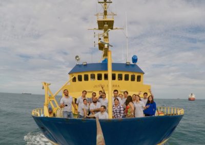
The Gulf of Mexico Research Consortium (CIGoM) was founded in 2015 as a consortium of scientific research and consulting services. It specializes in multidisciplinary projects related to potential environmental impacts of the oil and gas industry, in the marine ecosystems of the Gulf of Mexico. This initiative arose from the shared ideas of a group of scientists and PEMEX's staff, due to the lack of information to understand and act in case of possible large scale oil spills in the Gulf of Mexico.
Who is CIGoM?
The core of the consortium is composed by a group of experienced personnel, specialized and trained, including more than
Researchers actively involved
From the most recognized research and education Mexican institutions:
 |
 |
 |
 |
 |
 |
 |
 |
 |
 |
 |
 |
 |
 |

CONACYT / Ministry of Energy's Hydrocarbons Fund Project
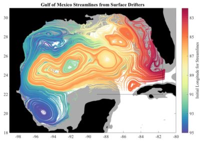
Currently the CIGoM develops the project “Implementación de redes de observación oceanográficas (físicas, geoquímicas, ecológicas) para la generación de escenarios ante posibles contingencias relacionadas a la exploración y producción de hidrocarburos en aguas profundas del Golfo de México”. This initiative is financed by the Hydrocarbons Fund of the National Council of Science and Technology and the Ministry of Energy. The Hydrocarbons Fund has decided to invest 1500 million pesos, to develop and have ready in 2020, the baseline of the Gulf of Mexico; a monitoring system of the ocean and the atmosphere –through buoys, HF radars, gliders and remote sensing; a thorough understanding of the Gulf of Mexico streams and the behavior of oil in the event of spills; state of the art on the natural degradation of hydrocarbons in the Gulf of Mexico; and an ability to determine spill scenarios and their potential effect on ecosystems. The project has been organized around these five lines of research:
Baseline and environmental monitoring
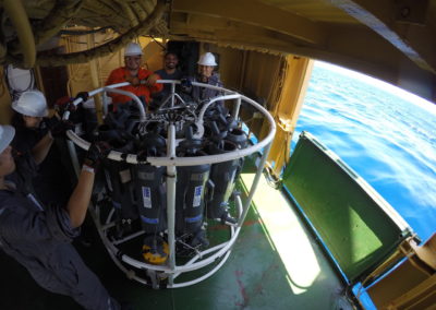
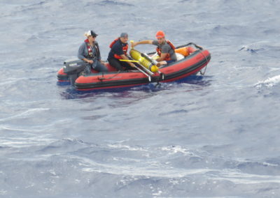
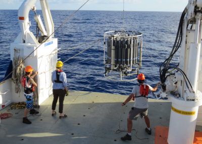
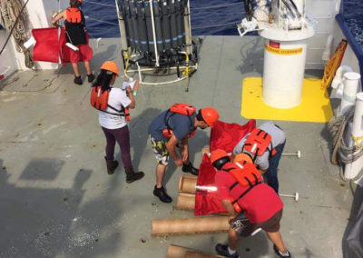
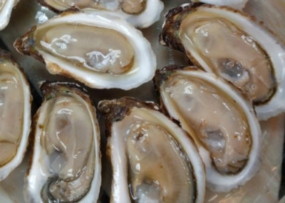
Oceanographic campaigns are carried out to collect samples and evaluate changes in the marine environment and the species that inhabit it, from microorganisms to cetaceans. This to be able to compare the effects of possible contingencies with the current state of the ecosystem.
Oceanographic observation platforms
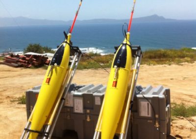
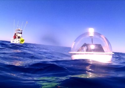
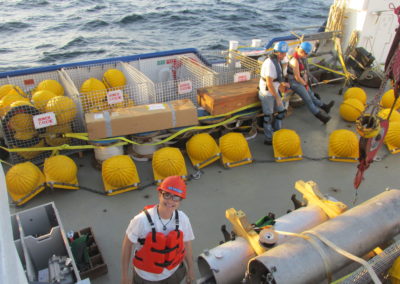
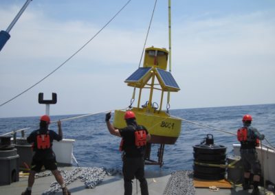
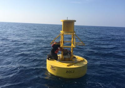
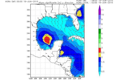
![]() Led by Dr. Francisco Javier Ocampo Torres, are a system of in situ and remote measurements of the marine environment of the Gulf of Mexico. Among its uses is to provide information that can be used in the face of possible contingencies related to the exploration and production of hydrocarbons and other harmful substances in deep waters of the Gulf of Mexico.. This line of work includes various technologies such as Coastal Oceanographic Buoys (BOC), Oceanographic and Marine Meteorology Buoys (BOMM), Underwater Gliders (Gliders) and Remote Sensing (Radio escaterometers, radiometers and synthetic aperture radars).
Led by Dr. Francisco Javier Ocampo Torres, are a system of in situ and remote measurements of the marine environment of the Gulf of Mexico. Among its uses is to provide information that can be used in the face of possible contingencies related to the exploration and production of hydrocarbons and other harmful substances in deep waters of the Gulf of Mexico.. This line of work includes various technologies such as Coastal Oceanographic Buoys (BOC), Oceanographic and Marine Meteorology Buoys (BOMM), Underwater Gliders (Gliders) and Remote Sensing (Radio escaterometers, radiometers and synthetic aperture radars).
Baseline and environmental monitoring
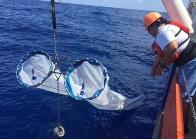
![]() Under Dr. Sharon Herzka Llona, aims to establish a baseline of oceanographic , biogeochemical, key biological and ecological variables to assess impacts and design mitigation strategies in cases of large-scale spills, in the deep-water zone of the Gulf of Mexico. This objective will be achieved through the execution of oceanographic campaigns, the evaluation of the habitat use of species of importance for conservation such as sea turtles, cetaceans or larger pelagic fish, and monitoring of coastal ecosystems associated with seagrass beds.
Under Dr. Sharon Herzka Llona, aims to establish a baseline of oceanographic , biogeochemical, key biological and ecological variables to assess impacts and design mitigation strategies in cases of large-scale spills, in the deep-water zone of the Gulf of Mexico. This objective will be achieved through the execution of oceanographic campaigns, the evaluation of the habitat use of species of importance for conservation such as sea turtles, cetaceans or larger pelagic fish, and monitoring of coastal ecosystems associated with seagrass beds.
Numerical models of circulation and Biogeochemistry
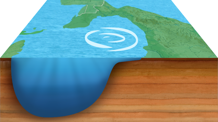
![]() Led by Dr. Julio Sheinbaum Pardo, consists of integrating numerical circulation models with biogeochemical and ecological models within a system to examine the evolution, the destination and possible effects of significant oil spills, considering different scenarios (magnitude, locality, depth, seasonality, type of hydrocarbons) to generate risk maps and arrival times that can guide decision-making in the event of a real event.
Led by Dr. Julio Sheinbaum Pardo, consists of integrating numerical circulation models with biogeochemical and ecological models within a system to examine the evolution, the destination and possible effects of significant oil spills, considering different scenarios (magnitude, locality, depth, seasonality, type of hydrocarbons) to generate risk maps and arrival times that can guide decision-making in the event of a real event.
Natural degradation of hydrocarbons
![]() Led by Dr. Alexei Fedórovish Licea Navarro where the natural response capacity of the ecosystem to large-scale spills is studied, through the evaluation of physicochemical degradation capacity, microbiological and photochemical of different hydrocarbon fractions through studies under controlled and natural conditions. It is proposed to evaluate the microbiological degradation capacity of different Mexican crudes by the native microflora, through the application of remediation techniques.
Led by Dr. Alexei Fedórovish Licea Navarro where the natural response capacity of the ecosystem to large-scale spills is studied, through the evaluation of physicochemical degradation capacity, microbiological and photochemical of different hydrocarbon fractions through studies under controlled and natural conditions. It is proposed to evaluate the microbiological degradation capacity of different Mexican crudes by the native microflora, through the application of remediation techniques.
Spill scenarios
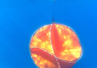
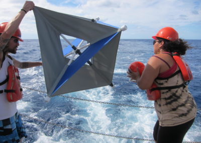
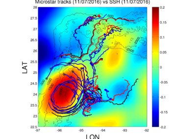
![]() Under Dr. Paula Pérez Brunius where the potential consequences of different oil spill scenarios are examined, considering the role of physical transport and dispersal processes on the destination of petroleum products in the western deep-water region of the Gulf of Mexico, and their potential impacts on the ecosystem at different temporal and spatial scales. The study will include field observations, as well as experiments and numerical simulations specifically designed for this purpose. There is a technological development component that includes an unmanned vehicle capable of throwing instruments adrift to mark a stain in the event of an accident..
Under Dr. Paula Pérez Brunius where the potential consequences of different oil spill scenarios are examined, considering the role of physical transport and dispersal processes on the destination of petroleum products in the western deep-water region of the Gulf of Mexico, and their potential impacts on the ecosystem at different temporal and spatial scales. The study will include field observations, as well as experiments and numerical simulations specifically designed for this purpose. There is a technological development component that includes an unmanned vehicle capable of throwing instruments adrift to mark a stain in the event of an accident..
Services
Environmental Baseline Studies & Compliance Services
Hydroacoustics & Shallow Seismic Exploration
Metocean Monitoring
Circulation And Biogeochemical Numerical Models
Analysis Of Oil Spill Response Scenarios
Oil Degradation By Microbial Consortia
Data Management & Visualization
Marine Sciences
Marine Operations
Postgraduate Programs
CICESE
CINVESTAV
UABC
UNAM

CIDESI
Contact
Coordination of the CIGoM
Address: Carretera Ensenada-Tijuana No. 3918, CICESE, Zona Playitas, C.P. 22860
Ensenada, Baja California México
Telephone: +52 (646) 175.05.00 extension 28907
Mail: contacto@cigom.org

